Ireland
 UK
UK Scotland
 London

Farrimond MacManus
Address
City East, Business Centre
68-72 Newtownards Rd
68-72 Newtownards Rd
Belfast
County Co Antrim
BT4 1GW
About Farrimond MacManus
FarrimondMacManus Ltd is a company of professional archaeological, heritage and survey consultants.
With over 15 years experience we offer a wide range of archaeological services, land and building survey services to Public and Private organisations and individuals with a specific specialisation in 3D Laser Scanning technology. We have the capacity to offer a unique combination of both land surveys, building surveys and archaeological consultancy designed to inform and assist the planning application process from inception to completion, either as a complete package or as stand alone elements. We employ a team of fully qualified and experienced archaeologists and surveyors backed up with the up to date planning knowledge, technology, mapping and archaeological expertise. With offices in Belfast and Derry we provide full coverage throughout Northern Ireland and Ireland, aiming to provide clients with cost effective archaeological and survey solutions in a professional and timely manner.
Our Services include:
- Archaeological Surveys and Reporting
- Archaeological Excavations
- Historic Buildings Survey
- Heritage Management Plans
- Landscape, Townscape and Topographic Surveys
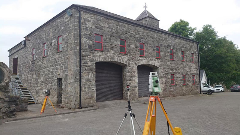
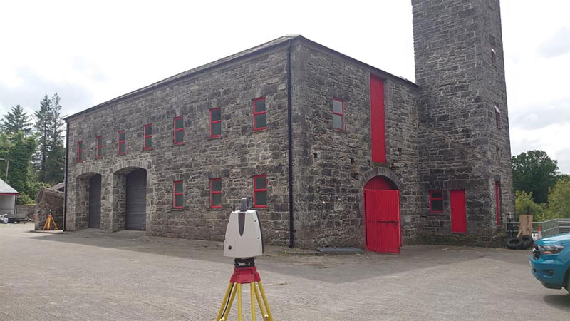
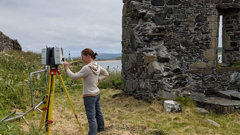
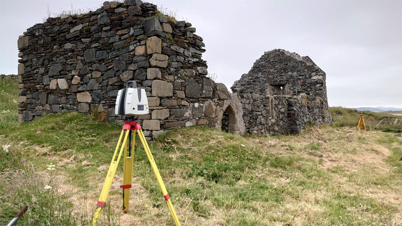
- 3D Laser Scanning and measured Building Surveys
- Boundary Surveys
- Scan to BIM - Building Information Modelling
If you would like more information on any of our services contact us directly and one of our experienced managers will discuss your project requirements.
Archaeological Impact Assessments and Programme of Works
An Archaeological Desk Based Assessment Report or Archaeological Impact Assessment Report is often the first element of archaeological involvement in a development project.
Primarily a requirement at project design phase, it is at this stage that only the provision of the most accurate and well researched information will be of value in helping to minimise the impact that archaeology may have on a development projects and vice versa and managing risk. The assessment can also form the basis of an Archaeological Programme of Works which will outline the most effective steps to mitigate against any potential archaeological issues which may arise.
Farrimond MacManus Ltd desktop survey combines Northern Ireland and Ireland government held archaeological GIS databases, historic archive and map sources and open source mapping integrated into industry standard GIS packages to provide a full analysis of the archaeological potential of your development. Our ability to integrate digital design drawings into our GIS allows us to fully assess the archaeological impact of the project.
Archaeological Evaluation
The archaeological Impact Assessment may identify an archaeological monument or areas of archaeological potential within a development's boundaries. Alternatively the heritage authorities may request further information under PPS6 BH3 (Northern Ireland) or under the National Monuments Act (Republic of Ireland) before allowing a development planning application to proceed.
Further information as to the extent of any known archaeology or potential archaeological remains may be evaluated by a programme of test trenching which involves the excavation of a series of well targeted machine cut trenches within the development area to establish the existence or non existence of archaeological deposits.
Archaeological Monitoring and Excavation
In those instances where the archaeological potential of a proposed development remains significant such as falling within a designated "Area of Archaeological Potential" the requirement for a qualified archaeologist to be retained to monitor primary groundworks at the site will become conditional upon granting of planning permission.
We will provide you with fully qualified Department Of Environment: Historic Environment Division (DOE:HED)/ Department of Environment Heritage and Local Government licensed archaeologists who will monitor ground disturbance works with the aim to identifying newly uncovered archaeological deposits.
Archaeological Reporting
Discovery during excavation is only half the story. Post excavation archaeological reporting is the process by which a full understanding of the archaeological remains can be preserved for the future. It is also an integral part of the archaeological planning conditions placed upon a development should excavation necessitate.
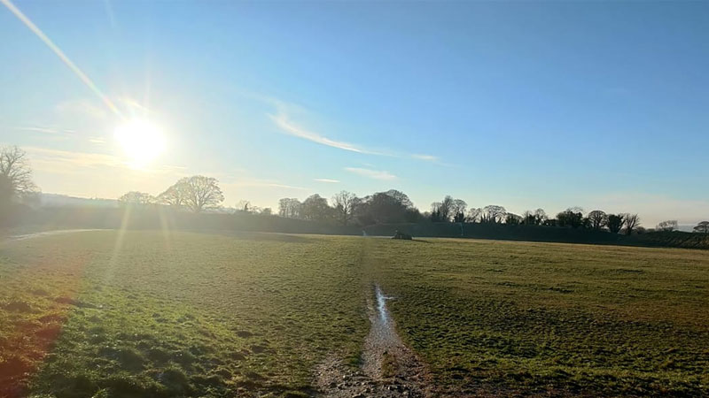
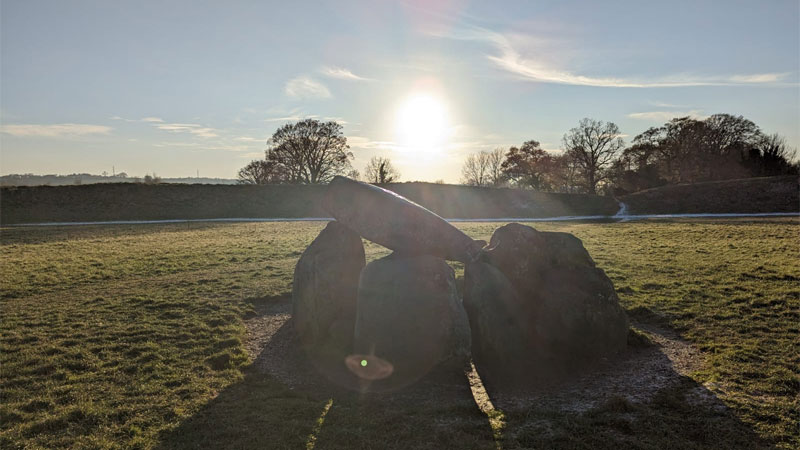
Gallery
Location Map