Ireland
 UK
 Scotland
 London


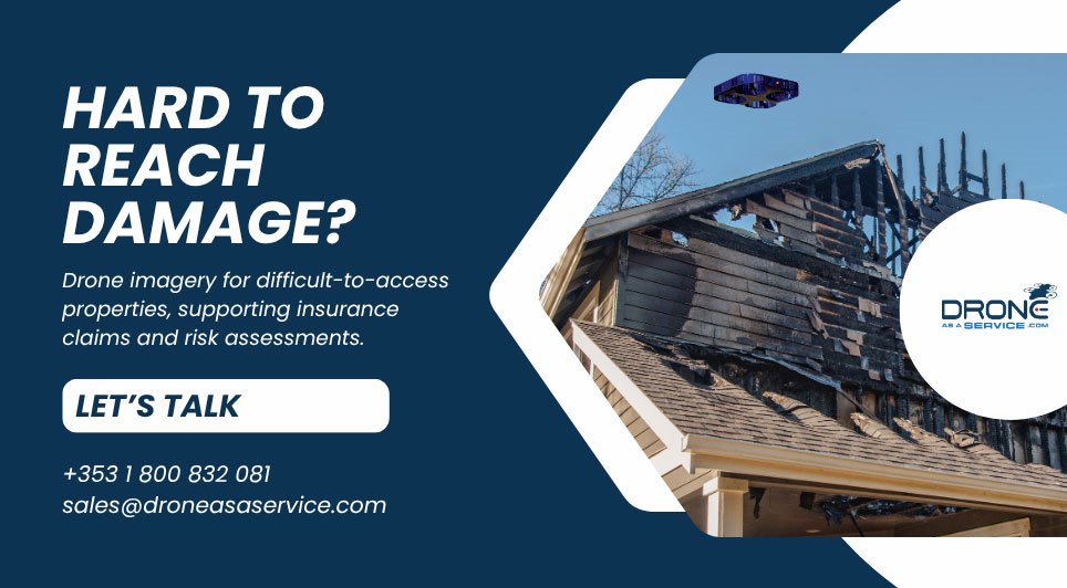
Struggling to assess roof damage when safe access is a challenge? For insurance providers, gathering detailed evidence from tall structures or hazardous locations can complicate claims assessments.
Drone as a Service provides aerial imagery and survey data to support insurance claims documentation and risk assessment across Ireland. By capturing detailed photographs and video, drones help insurers assess the condition of buildings and assets where access is difficult.
Following fire, flooding, storms or vandalism, aerial surveys can document visible damage to roofs, structures and surrounding terrain. This gives claims teams a clearer view of affected areas and evidence to support decisions about the nature and extent of a claim.
When ground access is restricted after a major event, drones can also help assess damage across larger areas, supporting a more comprehensive understanding of the impact.
Drone surveys also help insurers assess risks before damage occurs. Detailed site assessments and digital 3D models provide a clearer view of residential, commercial and industrial properties, helping insurers understand their condition and potential exposure to damage.
For insurers, the benefit is practical: better visibility of difficult-to-reach assets and detailed information to inform assessments.
Need a clearer picture of property damage or risk?
Contact Drone as a Service to discuss your assessment requirements.