Ireland
 UK
UK Scotland
 London

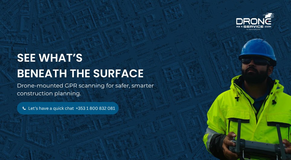
Drone as a Service provides construction teams with the aerial intelligence needed to see what lies beneath asphalt and concrete before any cutting or drilling begins. Our drone-mounted Ground Penetrating Radar (GPR) technology supports safer, smarter planning on sites across Ireland, from pre-construction assessments to ongoing infrastructure maintenance.
Using non-destructive radar scanning, we detect utility lines, post-tensioned cables, rebar, electrical conduits, voids, and moisture-intrusion zones hidden beneath the surface. This data also allows teams to measure slab thickness and assess the spacing of support features, giving a clear picture of structural integrity before work begins.

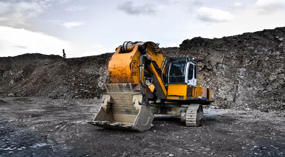
GPR scanning helps reduce the risk of costly strikes on hidden utilities or structural elements, protecting both personnel and project timelines. It's a valuable tool not only for asphalt and concrete infrastructure, but also for pre-construction site assessments on pipelines, roads, and railways, as well as mine safety assessments and environmental remediation projects.
By flying scanning equipment rather than relying on ground-based methods alone, we can safely access large-scale, remote, or hard-to-reach areas while reducing the need for personnel to work in high-risk zones. All missions are flown by IAA-certified drone pilots using registered drones, giving teams reliable data without disrupting site operations.
Beyond construction, Drone as a Service also provides drone solutions for renewable energy, insurance, agriculture, warehouse management, and more.
Want to see what's beneath your next project? Get in touch with our team and let's talk or visit our website.