Ireland
 UK
 Scotland
 London


Stunning three-dimensional technology is now available for organisations - including the construction sector, architects, investors, planners and surveyors - to aid their planning decisions.
Taking advantage of the 3D moving 'maps' on a giant-sized screen and viewed through special, high-tech glasses, the most realistic, complete picture is now possible.
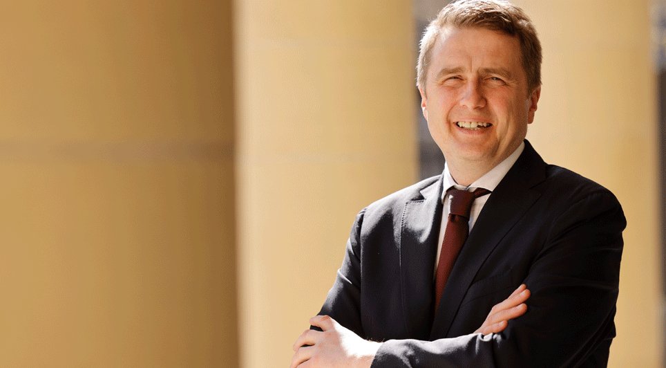
Stormont Enterprise Minister Arlene Foster and Chief Executive of the Geological Survey of Northern Ireland, (GSNI) Garth Earls (pictured here) get ready to watch 3D images of Northern Ireland's landscape and geology maps, on a giant-sized screen, at the newly installed 3D Visualisation Suite, at the GSNI in Belfast.
The Minister was on hand to unveil this powerful new tool that turns landscapes and geology maps into three-dimensional images.
The newly-installed three-dimensional, Visualisation Suite at GSNI in Belfast will, for the first time, allow investors and many other organisations to better exploit the vast archive of data collected by scientists, for economic and environmental gain.
The technology provides an opportunity to analyse models or maps from any angle, interact with the 3D images and share the experience with others as aerial pictures, digital terrains and radar or satellite imagery.
Combined, all this will mean that the cutting-edge facility will be of particular value to a wide range of organisations, including the construction industry, architects, investors, planners and surveyors, using the 3D moving 'maps' presented on a giant-sized screen and viewed through special, high-tech glasses.
Visiting the new facility the Minister said: "This new, 3D Visualisation Suite provides exciting scientific benefits to a vast range of organisations and individuals.
"I am confident its availability will make an important, positive impact on our economy and our environmental, agricultural and academic sectors.
"Improving the quality of the information we provide and presenting it innovatively, using the best technology, is crucial as we seek to build a more knowledge-based economy," she said.
Garth Earls, Director, GSNI, also commented: "This state-of-the-art facility means we can blend all the data we collected during the Tellus project - a unique, three-year initiative which involved a land-based geochemical survey and a separate airborne geophysical survey of the earth's surface and subsurface throughout Northern Ireland - with other information and present it in a dynamic, easily accessible way that will appeal to a wide variety of users."
(BMcC/GK)