Ireland
 UK
UK Scotland
 London

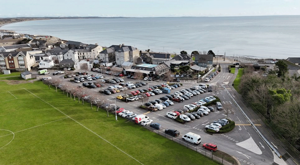
A topographic survey of the study area for the proposed Dundalk Bay to Carlingford Greenway project commenced this morning.
The survey, which initially covered the locations of Rockmarshall to The Bush, is being undertaken by drone by Murphy Geospatial on behalf of Louth County Council to determine ground levels throughout the study area.
The study area for the proposed greenway project encompasses the Regional Centre of Dundalk and the coastal town of Carlingford, along with the interconnecting road network.

The R173 Regional Road is the main route connecting Dundalk with Carlingford. The R173, along with other regional and local roads in the study area have limited provision for pedestrians and cyclists.
High vehicle speeds, narrow road widths and lack of segregated facilities make the road network unattractive for pedestrians and cyclists.
The topographic survey will continue at the following locations on the following dates: The Bush to Carlingford, Thursday, January 30, Friday, January 31, Tuesday, February 4 and Wednesday, February 5; Dundalk to Rockmarshall, Thursday, February 6 and Friday, February 7.