Ireland
 UK
 Scotland
 London


There's to be no hiding place for property rate's 'dodgers' as one of the UK's leading providers of aerial photography and digital mapping has announced the availability of new aerial imagery and mapping of Northern Ireland to add to its coverage of England, Wales and Scotland.
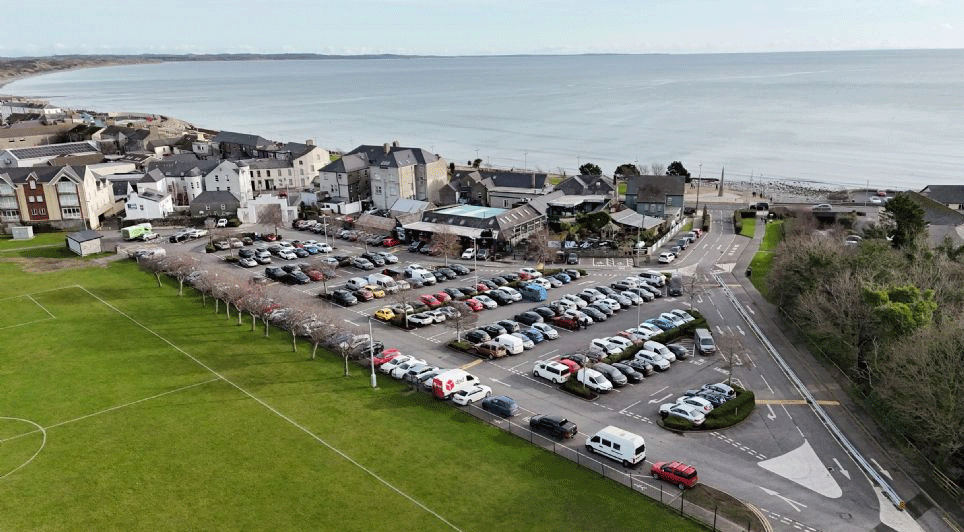
Getmapping's aerial imagery will cover the whole Province and will be available at 25cm resolution, sufficient to clearly see, roads, buildings, trees and vegetation.
While the aerial imagery and maps are the work of the Ordnance Survey of Northern Ireland, it has emerged that the imagery generation has now merged with the Rate Collection Agency, Valuation and Lands Agency and Land Registers Northern Ireland to become Land and Property Services (LPS).

Since LPS is an executive agency within the Department of Finance and Personnel for Northern Ireland - set up to provide an integrated set of land and property related services for citizens and government to "aid the regeneration and economic development of the Province" - as the company relates, it will mean no more white lies on the size of properties, or on the existence of an extension or additional outbuildings.
Tristram Cary, Managing Director of Getmapping.com, said: "We now have the most comprehensive collection of imagery and mapping of the UK currently available, catering to a wide range of users from surveyors, architects and GIS professionals to media companies and the public at large.
"Flying to acquire aerial imagery in Northern Ireland is so difficult due to the weather, being restricted to a few days per year, so Province-wide coverage is quite an achievement and we are delighted to make it available," he said, which no doubt will equally delight the rating valuation staff too.
(BMcC)