Ireland
 UK
UK Scotland
 London

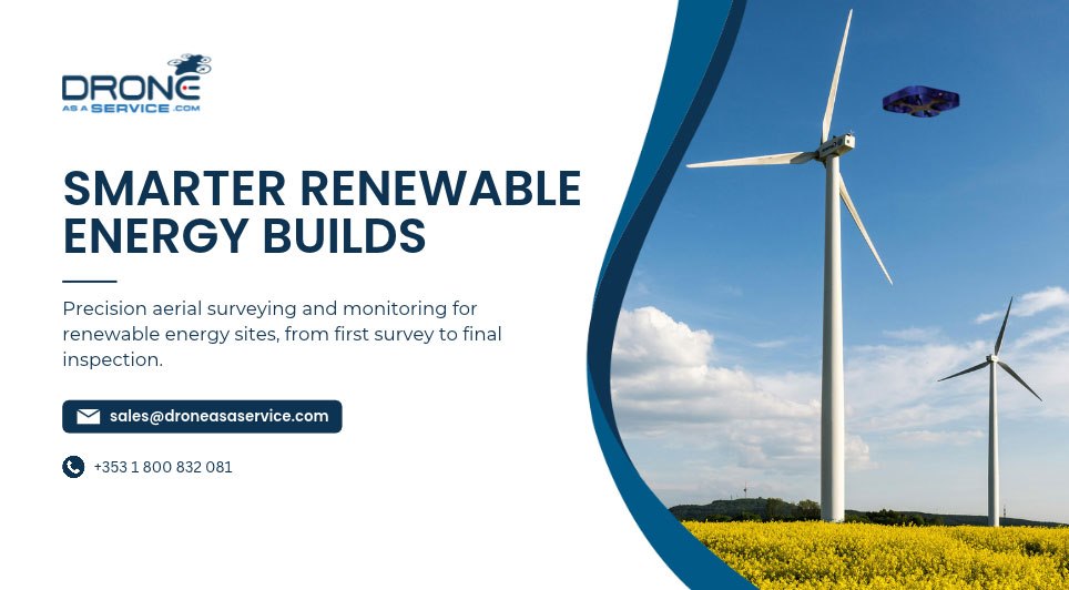
Renewable energy sites are some of the most demanding builds in construction, tight timelines, technical precision, and vast, often difficult terrain. Drone as a Service is giving construction teams a faster, more accurate way to survey, monitor, and manage these projects from start to finish.
Before a single foundation is poured, Drone as a Service drones capture precise LiDAR, photogrammetry, and multispectral data to survey potential installation sites, producing detailed terrain and elevation maps, 3D models, and geotagged orthomosaic imagery. This gives project teams a clear, accurate picture of the ground they're working with, long before machinery arrives on site.
Once construction begins, that same aerial capability shifts to tracking progress. Regular drone flights monitor installation phases, flag issues early, and give project managers reliable, up-to-date data without the time or safety risk of manual site inspections. Early detection of performance issues during this phase has been shown to help increase eventual energy outputs by up to 18%, making aerial monitoring as valuable for long-term performance as it is for construction oversight.
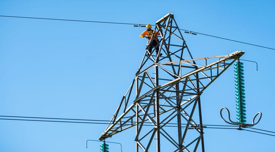
The benefit extends well beyond the build itself. Once a renewable site is operational, Drone as a Service continues to support it, inspecting solar panels for hotspots, cracks, or efficiency issues, and assessing wind turbine blades, tower integrity, and hydroelectric infrastructure, all without exposing workers to the safety risks of manual, at-height inspection.
Drone as a Service Ireland manages the full process, from site assessment and flight planning to data capture, processing and delivery. Missions are flown by IAA-certified pilots using registered drones, providing access to aerial intelligence without the need to invest in equipment or manage regulatory approvals.
Turn your renewable energy project into a smarter, safer build.
Contact Drone as a Service Ireland to discuss your site and request a quote.