Ireland
 UK
UK Scotland
 London

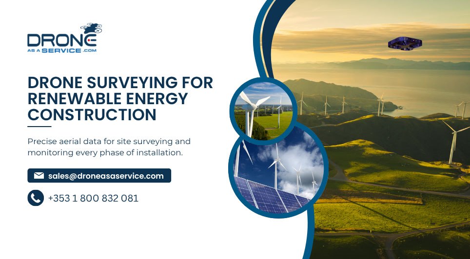
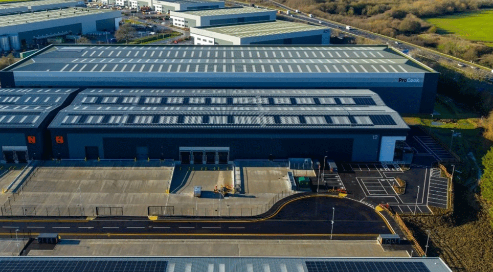
Drone as a Service provides renewable energy teams with the aerial intelligence needed to survey potential installation sites, monitor construction, and assess asset condition and performance. Our drone services support solar farms, wind turbines, and hydroelectric sites in Ireland, from pre-construction surveying through installation monitoring and ongoing inspections.
During pre-construction, LiDAR, photogrammetry, and multispectral sensors provide precise data to create terrain and elevation maps, 3D models, and geotagged orthomosaic images. These outputs support site surveying for infrastructure installation. Aerial tools also help monitor all phases of installation as construction progresses.

Beyond installation, Drone as a Service provides inspections to assess solar panels, wind turbine components, and hydroelectric infrastructure. High-resolution imagery and sensor data help identify performance issues and analyse the condition of these assets.
Data-collection results are delivered in a timely manner, with end-to-end data management services available to help process, analyse, and store the aerial information. All missions are flown by IAA-certified pilots using registered drones.
With Drone as a Service, you avoid the capital costs of drone ownership and the inconvenience of obtaining regulatory approvals.
Planning a renewable energy project? Request a quote from Drone as a Service.